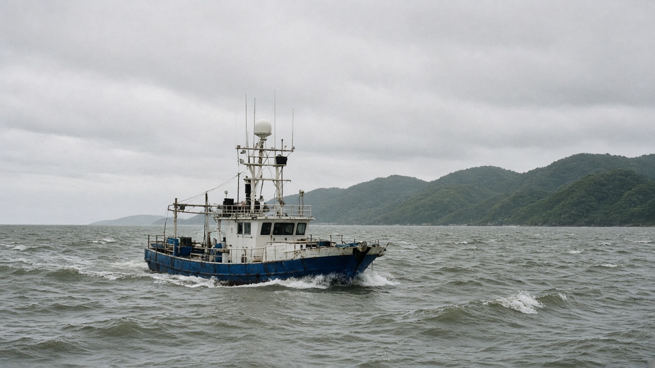
Taiwan’s navy plans to charter civilian fishing boats and aircraft to map beaches and shallow waters where Chinese forces would be most likely to attempt an amphibious landing, a senior military official told reporters on Saturday. The surveys would use commercial multibeam sonar and aerial mapping tools, while classified decisions about mines and obstacles would stay inside defence channels, the official said.
What the plan involves
The Ministry of National Defense’s Defense Innovation Division intends to contract private survey companies rather than rely solely on navy hydrographic ships, according to the official, who spoke on condition of anonymity. Fishing vessels equipped with multibeam echo sounders would measure coastal waters as shallow as three meters, where larger warships cannot safely operate and smaller craft would otherwise take weeks to chart.
Chartered aircraft would conduct wide-area passes to capture beach topography and access roads—data that erodes quickly when typhoons reshape sandbars and river mouths. The official said traditional fleet surveys during training exercises no longer keep pace with those seasonal shifts.
Why “red beaches” matter
Taiwanese planners label the most vulnerable landing sites “red beaches.” Analysts at the Institute for National Defense and Security Research, U.S. think tanks, and the ministry itself have identified between four and twenty candidate stretches, including Zhuwei in Taoyuan, Wazihwei in New Taipei’s Bali District, and Sishu in Tainan. More recent planning also discusses “composite red beaches” that pair port infrastructure with terrain suitable for airborne follow-on forces.
How this fits Taiwan’s asymmetric strategy
Taipei has spent years shifting from heavy platform purchases toward distributed sensors, mobile missiles, and civilian-military fusion projects that are harder for Beijing to target in a first strike. Using commercial boats as “asymmetric maritime sensors” extends that logic to the shoreline, where invading forces need precise depth soundings to schedule landing craft and amphibious assault vehicles.
The disclosure comes during a steady drumbeat of Chinese activity around Taiwan. The Ministry of National Defense said it tracked two People’s Liberation Army aircraft and multiple naval and official vessels in the 24 hours through Sunday morning, deploying its own aircraft, ships, and coastal missile batteries in response. Separately, the Coast Guard Administration has reported repeated expulsions of China Coast Guard ships near Taiwan-held islands this year.
Limits and risks
Survey contractors will operate under military oversight, but any program that puts civilian mariners near contested waters carries escalation and safety risks. The official did not provide a public timeline or budget figure, and lawmakers are likely to ask whether charter costs compete with urgent purchases of anti-ship missiles and air-defence radars.
Environmental groups may also scrutinize high-frequency sonar work in waters that support fisheries and coral habitat. The ministry has not said which agency would lead environmental review, but offshore wind developers already follow similar permitting paths with the Ocean Affairs Council.
What happens next
Defence Innovation Division staff must translate Saturday’s briefing into procurement specifications, liability agreements, and security clearances for civilian crews who will sail within sight of populated coastlines. If contracts are signed, the first surveys would probably begin after the autumn typhoon season, when calmer seas make multibeam data more reliable.
For residents near named red beaches, the visible change may simply be more fishing boats lingering offshore with unfamiliar deck gear. The strategic bet is that better maps help Taiwan’s planners channel an invasion toward kill zones without broadcasting exactly where those traps would be laid.