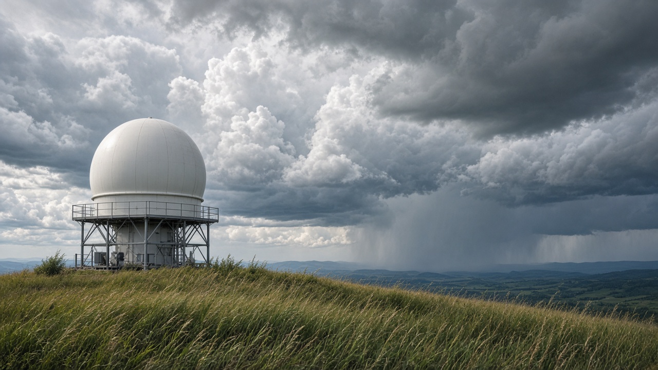
Australia’s weather radar archive can finally be read as a consistent rainfall record after CSIRO scientists published site-specific rain-rate formulas for 34 Bureau of Meteorology installations.
Why a national Z-R relationship fails
Radar beams measure reflectivity, then convert it to rain rate using a mathematical Z-R relationship. The study accepted on 12 October 2026 shows identical reflectivity can translate to rainfall more than 50 millimetres per hour apart depending on which radar site is scanning.
Parameters varied widely: the “a” coefficient ranged from 85 to 450 and the “b” exponent from 1.20 to 1.63. Four regional clusters emerged, but boundaries did not follow simple climate zones—hardware age, calibration and local microphysics all matter.
Uses for flood and bushfire planning
Accurate short-term rain rates feed flood warning systems and post-fire debris-flow models. CSIRO’s National Bushfire Intelligence Capability highlighted the work alongside a new Terrain 2.0 dataset blending LiDAR and satellite elevation for fuel and runoff modelling.
Emergency managers in Queensland and New South Wales said better historical radar rain rates could improve retrospective case studies after east-coast lows, even if real-time warnings still depend on live radar processing.
Data quality hurdles
Researchers built the first quality-controlled ground reflectivity set spanning the full archive, correcting for beam blockage and hardware upgrades. That grunt work is what makes the new Z-R tables usable for hydrologists who previously stitched together inconsistent products.
Insurance analysts watching storm claims said better climatologies could eventually inform parametric triggers, though underwriting changes lag science by years.
Limits and next steps
Radar still cannot see inside every valley, and extreme sub-hourly rain bursts over cities remain a separate CSIRO research thread on urban drainage design. The published relationships also need periodic retuning as the bureau replaces ageing S-band units.
Still, for a continent that argues about drought one season and record floods the next, a harmonised radar rainfall record is basic infrastructure—now with numbers that respect the fact that Darwin storms behave differently from Melbourne drizzle.
Implications for farmers and water managers
Murray-Darling Basin operators could use harmonised radar rainfall to reconcile dam inflows with model forecasts, especially when satellite estimates disagree during heatwave thunderstorms. Irrigation districts said they would wait for Bureau adoption before changing allocation rules.
Fire agencies testing NBIC Terrain 2.0 can pair the elevation layer with calibrated rain rates to estimate runoff on recently burned slopes, a combination that matters as El Niño-neutral conditions keep eastern forests dry.
Open science angle
The journal article is open access, allowing councils without commercial weather contracts to download the Z-R tables directly. That transparency may speed peer review from state hydrology teams who previously relied on vendor black boxes.