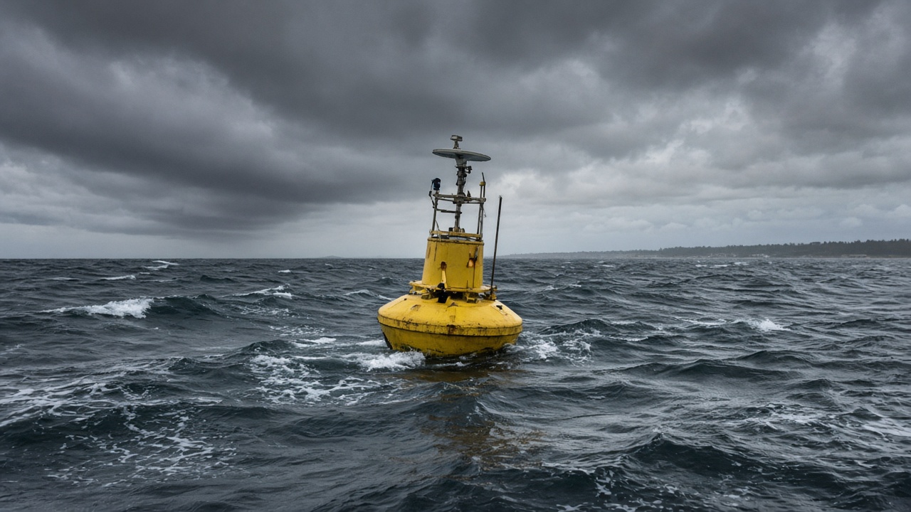
Mooring buoys operated by the National Institute of Ocean Technology logged significant wave heights of 3.2 metres off the Pondicherry coast Tuesday night as a Bay of Bengal depression strengthened, feeding real-time data to harbour authorities weighing fishing bans.
The measurements came from NIOT’s coastal observatory chain, which relays accelerometer and pressure readings every ten minutes to the Indian National Centre for Ocean Information Services for assimilation into swell models. Harbour masters in Karaikal and Cuddalore received automated SMS thresholds once seas crossed 2.5 metres.
Why buoys matter
Satellite altimetry captures broad patterns but misses nearshore refraction that can amplify waves over shallow continental shelves. NIOT’s array fills that gap along the Tamil Nadu coast, where fishing fleets often depart before dawn and may not see dark clouds until they are already offshore.
Scientists noted that long-period swell from the earlier low still overlapped with locally generated wind waves, producing steep seas dangerous for trawlers under 15 metres.
Research payoff
Data from the same buoys support NIOT’s work on submarine landslide detection and tsunami early warning tests. During this weather event, engineers are also validating new satellite-backhaul modems that send burst data when cellular towers fail—a common problem during cyclones.
Fisheries departments cited buoy readings when ordering boats to remain tied up through Thursday morning, overriding pressure from merchants who wanted catch before festive demand spikes.
Limits
Buoys can be damaged by dragging anchors in crowded fishing grounds; NIOT maintenance vessels were on standby but could not reach the outermost sensor until seas subsided. Modellers cautioned that wave height is only one variable—storm surge depends on tide timing and barometric pressure trends still being updated hourly.
For science readers, the episode shows how federally funded ocean observatories translate into concrete safety calls within hours, long before landfall forecasts firm up.
Modelling chain
INCOIS blended NIOT buoy spectra with European Centre model outputs to issue surf advisories for Puducherry beaches popular with weekend tourists. Lifeguards hoisted red flags by noon even before municipal orders arrived.
Researchers on a passing NIOT vessel collected water samples to study sediment stirred by high waves, data that also feeds climate models on coastal erosion. The same cruise path will redeploy acoustic Doppler profilers if the depression strengthens further.
Port trusts in Chennai said container operations continued with heightened mooring checks; only fishing harbours faced full closures. Insurance adjusters reminded trawler owners that policies often exclude damage when authorities have issued explicit no-sail orders.
Longer term, NIOT wants to double buoy density along the Tamil Nadu coast, but maintenance budgets compete with deep-sea mining research mandates.
Coastal engineering consultants used buoy spectra to recalibrate breakwater designs for a fishing harbour upgrade in Nagapattinam, a project delayed since 2023. Higher observed wave heights may require additional armour stone, raising costs but potentially preventing repeat damage from future depressions.
University oceanography departments requested open access to the raw ten-minute feeds for student projects; NIOT said it would publish delayed open data after the weather event concludes to avoid overloading satellite modems during the emergency.