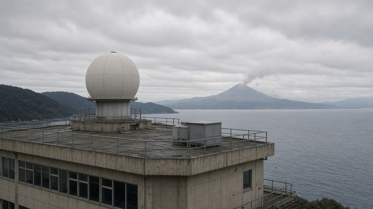
JAXA and the Institute of Space and Astronautical Science published gravity-field maps Friday that trace Sakurajima’s magma plumbing with sharper resolution than ground sensors alone, fusing orbital data with Kyushu seismic arrays. Sora Matsumoto’s science desk notes the work does not predict tomorrow’s explosion, but it narrows which chambers refill before ash falls on Kagoshima City classrooms.
Method in brief
Low-Earth satellites measured tiny changes in Earth’s gravity field as magma moved beneath the Aira caldera. Researchers subtracted seasonal water and building mass, then aligned residuals with microseismicity recorded on Sakurajima’s flanks. The merged model highlights a feeder zone shifting slightly northeast compared with 2010s surveys.
Why Sakurajima matters
The volcano erupts almost continuously at low levels, occasionally sending ash plumes that cancel trains and ground flights at Kagoshima Airport. Municipal governments maintain daily ash sweep schedules; schools stock masks and goggles.
Improved chamber maps help JMA set alert levels with more context, even when surface tremor looks routine.
Limits and next steps
Gravity data update monthly, not hourly—useful for medium-term hazard planning, not instant warnings. JAXA plans to share open grids with universities under a METI disaster-resilience grant.
Field teams will deploy additional broadband seismometers on the Showa crater rim next quarter to test the model’s predictions during the next inflation episode.
Public takeaway
Residents should still follow JMA alerts and carry ash preparedness kits. Science refined the subsurface picture; evacuation routes remain unchanged until officials say otherwise.
Data sharing
Open gravity grids will publish under a Creative Commons license for non-commercial hazard research, JAXA said. Overseas volcanology teams studying Cascadia subduction zones requested access to compare caldera plumbing models.
Local officials in Kagoshima plan a town-hall pairing scientists with ash-response volunteers—translating orbital maps into evacuation timing without alarmism.
Historical comparison
2018 inflation episodes at Sakurajima preceded larger explosions within months; the new feeder map does not yet say whether the current inflation pattern matches that cycle. JMA keeps alert level 3 on a five-step scale, restricting entry near the crater.
Instrumentation roadmap
Future JAXA gravity missions will fly closer orbits over Kyushu during clear winter windows to reduce atmospheric noise. Ground GPS networks on Sakurajima’s slopes already move millimeters daily; combining datasets should shrink uncertainty bands on magma volume estimates by next fiscal year.
Shipping lanes through Kagoshima Bay maintain standard routes; ash advisories to pilots use separate JMA channels unaffected by this research release.
Evacuation planning
Kagoshima City maintains staged evacuation zones keyed to ash fall forecasts, independent of JAXA’s monthly gravity updates. School drills this autumn added ash-weight thresholds; parents receive SMS templates when JMA raises alert levels.
Scientists stress that gravity maps refine long-term hazard models, not door-to-door warnings. Residents should still monitor municipal loudspeaker tests each month.
International collaboration
Italian researchers studying Mount Etna requested joint workshops in Fukuoka next spring to compare orbital gravity processing pipelines—Sakurajima’s data becomes a reference case for crowded coastal volcanoes worldwide.