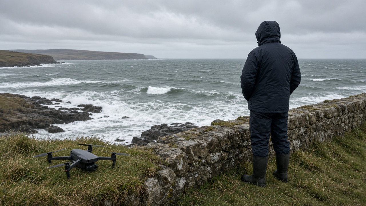
University of St Andrews scientists released drone lidar scans Sunday showing where Moray Firth sea walls overtopped during Storm Boelo, giving councils concrete height data instead of anecdotal flood marks on harbour stonework.
Method
The team flew quadcopters between squalls Saturday to capture centimetre-scale elevation models along vulnerable fronts in Lossiemouth and Burghead. Comparing pre-storm baselines let them quantify splash volumes that CCTV alone missed.
Lead researcher Dr Fiona McAllister said the work was requested by Moray Council’s flood team after January simulations underestimated wave run-up on ageing revetments.
Findings
Early plots show overtopping concentrated at curved wall segments where refraction focused energy. Wooden promenade decking sustained less damage where new rock armour had been installed after 2023 storms.
SEPA’s coastal flood maps will ingest the lidar layers for next season’s planning consultations.
Policy use
Councillors said the data supports bids to UK resilience funds rather than relying on insurance photos alone. Harbour masters want thresholds for closing piers when modelled overtopping exceeds waist height on quays.
Climate context
North Sea surge events are not new, but Boelo’s track combined Atlantic swell with local wind setup. St Andrews collaborators noted similarities to 2024’s Storm Isha scars still visible in dune profiles.
Limits
Drone flights cannot run in the highest gusts; the team interpolated gaps with tide-gauge peaks. Peer review is scheduled for a coastal engineering journal next spring.
Public safety
Authorities urged sightseers not to copy hobbyist flights near emergency crews. Licensed operators coordinated with Police Scotland airspace cells.
Harbour operations
Fishing crews delayed departures until wave heights dropped, sharing mooring lines to prevent snap damage. Harbourmasters compared lidar splash heights with manual chalk marks on quay walls from previous storms.
Tourism boards warned coastal path walkers to avoid spray zones until engineers certified railings.
Funding bids
Moray Council planners said lidar evidence strengthens Section 42 coastal defence applications to Westminster resilience pots. Without measured overtopping, bids relied on citizen photos that assessors discounted as anecdotal.
University press officers planned a public webinar Tuesday to walk residents through colour-coded hazard maps.
Training pipeline
Postgraduate students on the coastal engineering MSc will process the dataset as a term project, building skills local consultancies struggle to hire after Brexit-era recruitment friction.
Coastal residents uploaded phone video to a university crowdsourcing portal, helping validate model outputs against ground-level splash heights.