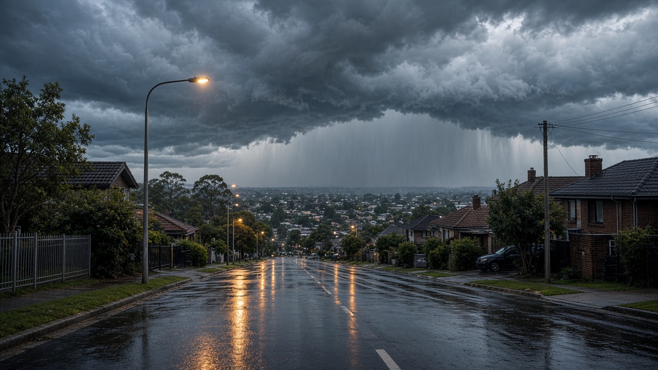
South-east Queensland faced its highest severe-storm risk in a week-long wet spell on Monday, with the Bureau of Meteorology warning of large hail, damaging wind gusts to 90 km/h and flash flooding across Brisbane, the Gold Coast and the Sunshine Coast.
Senior meteorologist Felim Hanniffy said storms were likely during the morning commute and again in the afternoon or early evening, with inland areas including the Lockyer Valley, Scenic Rim and South Burnett also in the firing line. A stagnant humid air mass has parked over the state for more than a week, priming the atmosphere for explosive convection even before Monday's upper-level support arrived.
Floods still running as storms return
Multiple flood warnings remained active ahead of Monday's peak. The Mary River at Tiaro north of Gympie was rising toward major flood level after more than 300 millimetres fell across parts of the catchment in seven days, while Sunshine Coast hinterland towns recorded totals above 400 millimetres. Gympie Regional Council warned the Kidd Bridge could close as the river climbed, and motorists reported inundated highways west of the city.
Emergency services lifted a flash-flood alert for Clermont in the Central Highlands after weekend chaos around Theresa Creek Dam, but Hanniffy cautioned that saturated soils mean even modest storm totals could trigger rapid creek rises. Early Monday warnings flagged storms near the southern Darling Downs moving east toward Warwick and the western Scenic Rim, with gauges reporting more than 50 millimetres in an hour overnight.
When relief arrives
Brisbane, the Gold Coast and the Sunshine Coast should see conditions ease by Tuesday, though inland Wide Bay-Burnett may keep an elevated severe risk into midweek. Forecasters are uncertain whether humidity will rebuild for another round later in the week, meaning Monday is the peak day for south-east Queensland, not the finish line.
Residents were urged to secure vehicles, charge phones and avoid driving through floodwater as schools and workplaces returned after a sodden weekend. For a region that endured east-coast supercells just days earlier, the message was familiar: treat any second storm line as seriously as the first, because the ground no longer absorbs what the sky delivers.
Power companies staged extra crews after weekend outages in the hinterland, where fallen trees tore down street-level lines. Energex urged residents to report damaged equipment only after storms pass, warning that wet ground increases electrocution risk.
Schools in Gympie and Noosa shires sent late-night messages about possible remote learning if bus routes remained flooded. Insurance councils reminded households that storm water inundation cover varies by policy wording, a recurring friction point after east-coast events.
Climate scientists noted the event fits a pattern of slow-moving highs trapping moisture, separate from individual cyclone tracks but consistent with a warmer atmosphere holding more water vapour.
State emergency services tallied hundreds of storm-related call-outs across the weekend, with SES volunteers sandbagging properties along creeks that had not flooded in a decade.