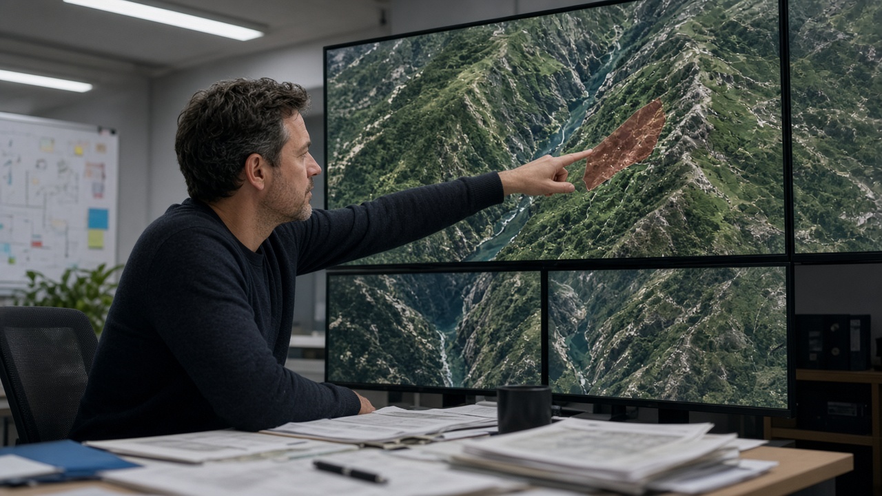
Academia Sinica’s Center for Geographic Information Systems published a high-resolution satellite mosaic Monday that highlights fresh landslide scars along the Hualien gorge rail corridor, giving civil engineers a before-and-after baseline as Taiwan Railways Administration crews prepare to reopen cut slopes closed after Champi’s rains.
How the mosaic was built
Scientists stacked radar and optical passes from domestic and foreign earth-observation satellites, correcting for cloud gaps with synthetic-aperture returns collected Oct. 24–26. The team aligned imagery to existing digital elevation models so scar polygons could be exported directly into the Soil and Water Conservation Bureau’s slope database. Unlike single snapshots, the mosaic shows connectivity between scars and ephemeral streams that rail inspectors cannot see from track level alone.
Rail implications
Taiwan Railways said it would overlay the mosaic on pending repair contracts for retaining walls damaged when debris flows covered a siding near one tunnel portal. Trains are running limited shuttles on alternate schedules; full-speed service requires geotechnical sign-off on each scar above the 50-meter setback rule. Maintenance directors told lawmakers that satellite baselines shorten but do not replace borehole sampling, especially where marble formations hide voids behind thin soil veneers.
Policy and data sharing
The National Science and Technology Council funded the rapid mosaic under an emergency earth-science channel created after the 2018 Hualien earthquake sequence. County governments in Hualien and Taitung receive shapefiles under a memorandum that bars commercial resale but allows disaster contractors to bid with shared coordinates. Privacy officers confirmed the resolution is coarse enough that individual rooftop features are not identifiable, addressing concerns from indigenous communities along the corridor.
Limits of remote sensing
Cloud cover still blinded two side valleys on the optical layer; field teams must walk those segments with lidar backpacks before the next storm. Academia Sinica urged ministries to fund a permanent rapid-mosaic desk during typhoon season rather than activating grants ad hoc. For residents, the practical benefit is earlier warnings about secondary slides when aftershocks or follow-on rain hit already-disturbed slopes above the only east-coast arterial.
What comes next
Researchers plan a second mosaic after major earthworks finish, giving insurers and infrastructure lenders a verifiable record of slope stabilization. If scars expand before repairs complete, the diff will show up in red on the next pass—an accountability tool rail passengers may never see, but one that engineers said beats relying on handwritten patrol notes alone.
Training for local officials
Academia Sinica scheduled a two-day workshop for Hualien county engineers on importing mosaic layers into GIS workstations used for building permit reviews. Participants will practice clipping scar polygons away from residential parcels to avoid false positives that could freeze lawful construction. The training is open to Taitung staff by video link, extending the tool’s reach beyond the rail corridor that first motivated the rapid grant.