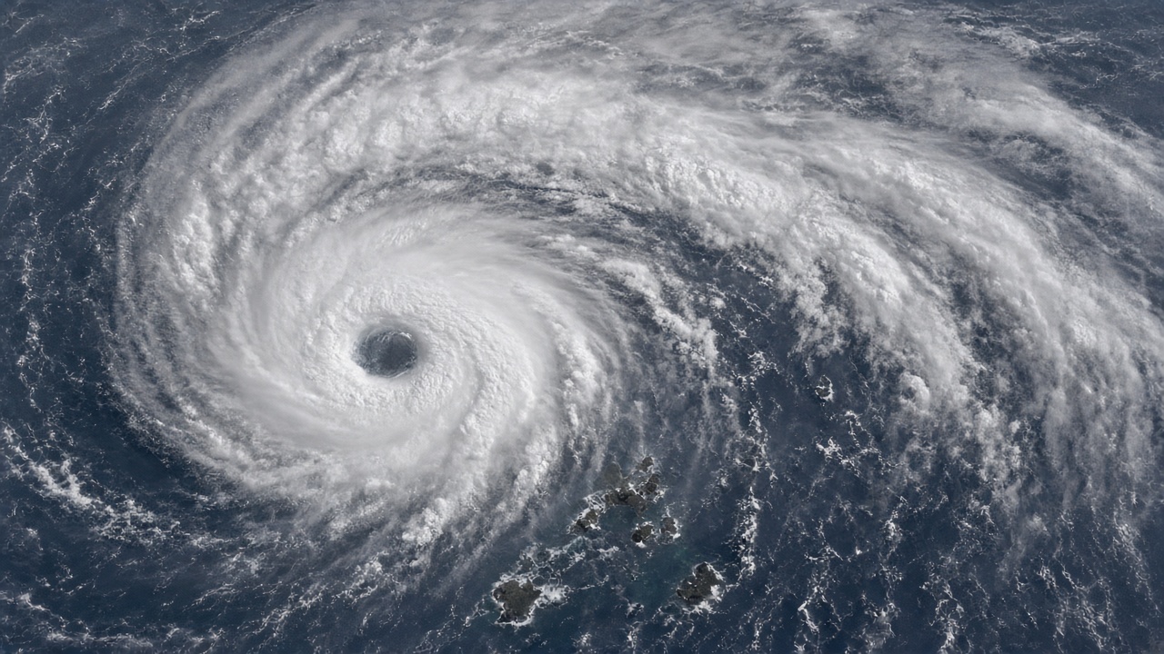
Very strong Typhoon No. 31, international name Infra, was nearly stationary near the Ogasawara Islands on Sunday morning, packing peak gusts of 65 meters per second as Japan's meteorological agency warned remote communities to prepare for prolonged high seas.
The Japan Meteorological Agency said the storm at 9 a.m. local time sat over waters south of the archipelago, moving slowly east-southeast with a central pressure of 940 hectopascals and maximum sustained winds of 45 meters per second. Forecasters expect Infra to drift westward for several days before turning north by midweek, a sluggish track that could expose the islands to damaging swells for much of the week.
Who is at risk
Ogasawara's roughly 2,500 residents live on steep, isolated islands more than 1,000 kilometres south of Tokyo. Ferry links and small airports are the only lifelines, and both are highly weather sensitive.
Municipal officials have not ordered a mandatory evacuation, but the agency's latest bulletin shows gale-force winds covering the entire storm footprint, with a 150-kilometre radius of 25-meter-per-second winds and a 330-kilometre radius of 15-meter-per-second winds. Fishing fleets have been told to remain in port, and Self-Defense Force units in Tokyo said they were reviewing helicopter rescue ranges should communications degrade.
Mainland Japan watching
Although Infra is far from the Japanese mainland today, ensemble forecasts show a wide spread late in the week. Some model runs curve the typhoon east of Honshu with only peripheral rain bands; others bring it close enough to brush the Kanto coast by Friday with 30-meter-per-second winds.
That uncertainty follows a magnitude-6.1 deep earthquake off Mie Prefecture earlier Sunday, which rattled Fukushima and parts of Kansai without triggering a tsunami. Disaster managers said the quake and typhoon were unrelated but would stretch monitoring staff across both events.
What to expect next
The agency plans twice-daily updates while Infra remains nearly stationary. Airlines serving Haneda–Ogasawara routes have already cancelled Monday rotations, and Tokyo's metropolitan government urged adventure tour operators to suspend scuba and whale-watching trips.
If Infra follows the most common ensemble path, it could reach waters east of Honshu by 6 November as a weaker but still large storm. Residents on the mainland are being told to refresh typhoon kits now rather than wait for clearer tracks, because the slow movement near Ogasawara is consuming forecast lead time before any Kanto decision must be made.
Comparison with recent storms
Infra is the thirty-first numbered typhoon of the season and arrives weeks after a magnitude-7.0 deep quake near the Ogasawara region on 25 October, which triggered tsunami advisories that were later lifted. Emergency planners said back-to-back events test satellite phone caches and desalination stocks on Chichijima and Hahajima more than mainland prefectures.
Tokyo Electric Power Company Holdings reported no immediate impact on metropolitan grids, but fuel suppliers are pre-positioning diesel generators on Hachijojima in case ferry delays stretch beyond three days. Japan Coast Guard helicopters conducted reconnaissance flights Sunday afternoon, relaying wave heights above eight meters near the storm center.