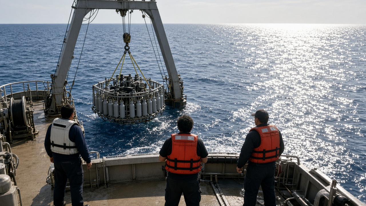
A University of Tokyo–led research cruise returned to Yokosuka this week with high-resolution maps of Kuroshio mesoscale whirlpools east of Shikoku, data the Atmosphere and Ocean Research Institute will feed into tsunami debris dispersal models JMA plans to benchmark against 2011 drift card archives. The work does not predict the next earthquake; it tightens where floating material could aggregate weeks after a coastal tsunami—information prefectures still use when planning offshore collection drills.
What was measured
Scientists deployed expendable profilers and shipboard radar altimetry across five transects, capturing eddies roughly thirty to sixty kilometers wide that spin off the main current. AORI researchers said whirlpool tracks stayed coherent for twelve to eighteen days in September’s mild wind regime—long enough to trap woody debris and fishing gear if a surge deposited them at the right phase of the tide.
The cruise piggybacked on JAMSTEC vessel time originally booked for carbon cycle sampling; extra CTD casts added forty hours at sea. Sample sizes are regional, not basin-wide; authors will not claim global parameterization without another winter leg when winds strengthen.
Model limits
Tsunami debris models already ingest JMA ocean forecasts, but older schemes smoothed the Kuroshio into mean flow. Early comparisons show whirlpool-resolving runs shift predicted landfall clusters on Honshu’s Pacific coast by tens of kilometers versus smoothed runs—meaningful for planning offshore skimmer routes, not for household evacuation maps.
Researchers stress the dataset does not estimate radioactive material transport; that requires separate source terms and fisheries closures. The institute’s press materials avoid implying beach safety scores for swimmers.
What happens next
AORI will publish a methods preprint in October and share gridded fields with JMA’s Oceanographic Observation Center for blind tests against 2011 drift card release points archived after the Tohoku event. Prefectural disaster offices in Kochi and Tokushima requested briefings before typhoon season ends because their offshore cleanup contracts assume debris highways along the main current, not eddy traps that linger offshore.
Funding for a winter repeat leg is pending; without it, whirlpool statistics may skew toward calm September seas. Graduate students aboard noted bioluminescence sampling was a bonus outcome, but the operational deliverable is strictly circulation fidelity.
What readers should not do
Do not treat eddy maps as fishing forecasts or swim advisories. The cruise improves government models used after rare catastrophes, not weekend plans. If JMA adopts the higher-resolution Kuroshio scheme, benefits appear in exercise scenarios first—tabletop debris routing—not in tomorrow’s wave height bulletin.
Instrumentation detail
Shipboard radar altimetry resolved sea-surface height anomalies within five centimeters when validated against drifting buoys released mid-transect. Graduate students logged bioluminescence as a secondary dataset, but operational deliverables prioritize velocity fields at forty-meter depth intervals—deep enough to see how whirlpools tilt isopycnal surfaces without resolving every submesoscale filament.
Open-data release will lag the preprint by roughly six weeks while JMA completes comparison runs; AORI said gridded fields will carry explicit uncertainty bands so disaster planners do not treat contours as coastlines.