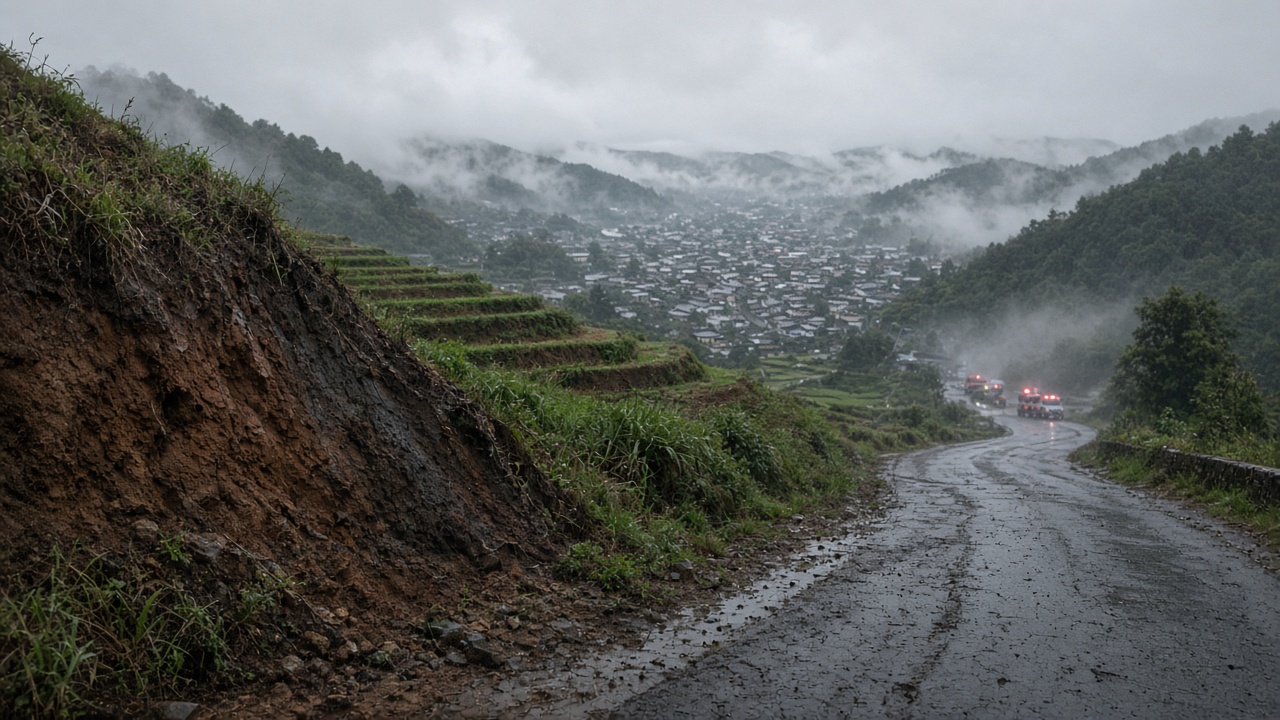
TOCHIGI — The Japan Meteorological Agency on Sept. 26 downgraded some of the heaviest rain warnings for Tochigi Prefecture, a move that returns the map to a more familiar color code but does not reset the ground. Residual heavy-rain and landslide advisories remained in parts of the prefecture, and the scientific reason is simple: water that has already entered a slope does not leave when a warning level falls.
JMA's warning dashboard is the operational face of a much larger monitoring system. The agency issues landslide alerts through a soil-water index, a model that estimates how much water is stored in soil from rainfall. It uses rainfall windows of 1 hour, 24 hours, and 72 hours, then runs those inputs through a tank model. The output is mapped on a 5-km mesh and updated hourly. When the index crosses a municipal threshold, JMA and prefectural officials issue a landslide warning.
The Sept. 26 downgrade in Tochigi therefore reflects a change in the rainfall input and warning criteria, not a survey of every hillside. JMA's page is a warning map, not a soil-moisture sensor network. That distinction matters in a prefecture where steep valleys, weathered volcanic ash, and fractured bedrock can hold water long after rivers have peaked.
Geologists who study rainfall-triggered landslides describe the post-rain period as a lag phase. Saturation reduces soil suction, the capillary force that helps hold grains together. As water fills pore spaces, pore-water pressure rises and effective stress falls. A slope that was stable at the height of a storm can fail hours or days later, when a small collapse, root failure, or extra millimeter of rain pushes it past equilibrium.
What JMA's numbers can and cannot show
JMA's soil-water index is a useful screening tool because it combines real rainfall observations with a physical model. It updates hourly, so it can track the broad trajectory of a storm. But it is not a direct measurement. The model does not know whether a specific slope has a shallow landslide scarp, a drainage pipe, or a layer of clay that traps water. Thresholds are set by municipality, and local geology can make one hillside fail while a neighboring one stays intact.
That limitation is why a downgraded warning is not an all-clear for people who live near steep terrain. In practice, JMA's own guidance tells residents to watch for precursory signs: new cracks in the ground, tilting trees or utility poles, muddy water from a hillside, and unusual sounds. These are field observations, not model outputs, and they can appear after the official alert level has fallen.
Tochigi's terrain makes that lag especially relevant. The prefecture's northern and western areas include steep forested catchments and volcanic soils. Rain that falls on those slopes can infiltrate quickly through macropores and root channels, then move laterally along a less permeable layer. The result is a perched water table that can remain elevated even when the rain gauge has stopped recording.
What a replicate at RIKEN or a Tokyo lab would look like
A stronger test of lingering saturation would require instruments that JMA's operational index does not deploy at every slope. Researchers at RIKEN or a Tokyo university lab might combine in-situ soil-moisture probes, tensiometers for pore-water pressure, tilt meters, and rain gauges on a monitored hillslope. Repeated drone or LiDAR surveys could map surface deformation. Those measurements would show whether the soil-water index is over- or under-estimating local risk.
Such a study would also need a sample that is large enough to matter. A single hillside in Tochigi is a case study, not a regional rule. To replicate across the prefecture, researchers would need a network of sites that vary by slope angle, soil depth, land cover, and past landslide history. The question is not whether JMA's index works on average — it does — but where its 5-km mesh smooths over the local conditions that decide whether a slope fails.
For now, the operational picture on Sept. 26 is mixed. JMA has reduced some of the most severe warnings, which eases evacuation and transport pressures. But the agency's own landslide criteria remain risk-based, and geologists say the ground may still be holding the storm. In the days after heavy rain, the safest reading is not the color of the warning map alone. It is the combination of JMA's rainfall and soil-water numbers, local geology, and what residents can see on the slope above them.
That is the gap the downgrade leaves open: a warning system designed to move fast, and a hillside that moves slowly.