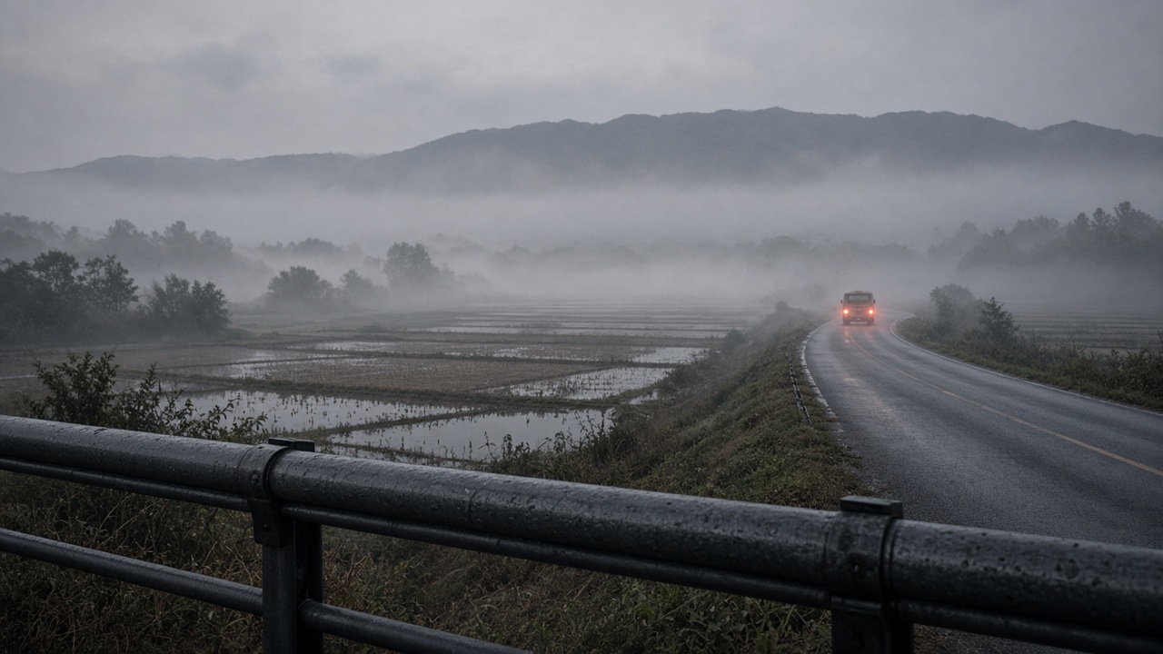
Sunday is the last leg of the Chuseok travel window, and the forecast asks the country to handle three separate problems rather than one: dense fog inland before noon, a perigean spring tide along the west and south coasts, and rain over Jeju and the southern sea.
None of the three is a storm. Each is a measurement problem, and each gets decided locally — by which automatic weather station reads the visibility, by which tide gauge crosses its threshold, and by the hour the driver leaves.
Inland fog is a radiation problem, not a cloud problem
Autumn fog over the interior forms from the ground up. Radiation fog needs three conditions at once: ground still releasing moisture, whether from recent rain or rice paddies holding water through the holiday; a sky clear enough that the surface radiates its heat away overnight; and surface wind calm enough that the chilled layer does not mix out into the warmer air above it.
Where those three stack — interior valleys in Gangwon, Chungcheong and Jeolla, river bottoms, and the low ground around new industrial and logistics parks — visibility can fall from several kilometres to a few hundred metres inside an hour. Where one ingredient is missing, the same forecast produces haze and nothing more.
That is why a fog outlook is a map of basins rather than a map of provinces. The Korea Meteorological Administration's advisory calls rest on readings from its automated weather stations, which report visibility and temperature at fixed points. A driver can pass from advisory-level fog into clear air and back again inside a single valley system. The forecast is a probability attached to a station network; the road is a sequence of local air masses.
The coast: perigee plus full moon, or sari
Anyone who watched the full moon rise on the 26th was watching the same alignment the coastal flood watch on Sunday is about. When the Moon sits near the closest point of its orbit and the Sun, Earth and Moon run nearly in line at new or full moon, the solar and lunar tidal pulls add. Korean coastal communities call these sari tides; in English they are perigean spring tides, or king tides.
Sari on its own is routine. At Incheon, Gunsan and Boryeong on the west coast, and around Jeju and the southern straits, the highest highs of the cycle wet low-lying coastal roads, cut off mudflat paths and flood the underpasses near harbours — the same places, most months, on a predictable schedule.
What elevates a spring tide into a flood watch is the second term in the sum: a pressure deficit, persistent onshore wind, or both. A low centre lifts the sea surface directly, and wind stress piles water against the coastline. Add that to a tide already at its monthly maximum and minor coastal flooding becomes likely rather than merely possible.
Jeju and the south take the rain
Jeju and the southern coast carry the rain on Sunday, which makes the island's return day a wet-road problem more than a wind problem. The same sea-surface warmth that keeps early-autumn rain bands alive around Jeju also holds air temperatures up, so the island is unlikely to see the basin fog the interior gets. The measurements that matter there are hourly visibility and crosswind at Jeju International, not a national outlook.
The return arithmetic
The road system has already taken its worst hit. On the 26th, roughly 5.9 million vehicles were in motion, and the Busan–Seoul corridor, the busiest route in the country, ran at about five hours forty minutes before easing to roughly five hours by 9 p.m.
Sunday's load depends on how many drivers push their departure into the afternoon. Fog complicates the morning window; the tide complicates the evening one on the west coast, where high water over a wet road is the mechanism behind most minor coastal-road closures. Holiday leisure figures read the same weekend from the other side: 1.05 million cinema admissions by the morning of the 26th, a reminder that a large share of the population stayed in the cities rather than joining the highway queue.
How this forecast gets checked
Two datasets will settle Sunday. The first is station visibility at the inland basin sites before noon — not a national average, and not a single city-wide number. Fog is the most local variable in the forecast system, and verification is genuinely station by station. The second is tide-gauge height along the west and south coasts, published in near real time by the Korea Hydrographic and Oceanographic Agency. That network is dense at major ports and thin at small harbours, so the answer for a given village still depends on which gauge sits closest.
If the fog verifies at a handful of basin stations and the gauges stay under their watch thresholds, Sunday will read as an ordinary early-autumn return day. That is the outcome most forecasts for the final day of a long holiday are quietly built to produce — and the reason the interesting part of this one is not the weather itself but where it gets measured.