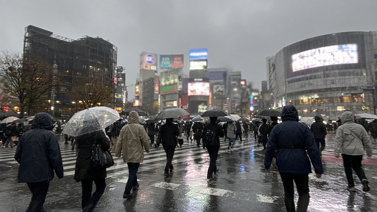
Tokyo matched a 33-day consecutive rain streak on Monday—the same mark last set in the summer of 2019—just as Typhoon Surigae intensified into a super typhoon and began pushing toward Okinawa on a path that could reach the storm-weary Kanto region by Thursday.
The Japan Meteorological Agency classified Surigae, the 26th named storm of the year, as a very strong typhoon as it approached Okinawa Prefecture and the Amami islands. The U.S. military’s Joint Typhoon Warning Center upgraded the system to super typhoon status Sunday night, a step that signals sustained winds well above the threshold that can snap tree limbs and complicate commuter rail recovery work still under way after Typhoon Dujuan breached embankments at Lake Inbanuma in Chiba last week.
Why Kanto is watching the track
Forecast models show Surigae moving east-northeast away from Japan at first, then bending back toward the Izu Islands with a potential landfall in the Tokai or Kanto regions around Thursday. By then the JMA expects the storm to have weakened into a severe tropical storm, but officials cautioned that wind gusts could still make driving hazardous and that saturated soils mean even moderate rain could re-trigger landslide alerts in mountain towns west of Tokyo.
The land ministry warned that heavy-rain advisories could return across western and eastern Japan later this week, extending a month that has already broken September rainfall records in the Kanto-Koshin area. Dujuan’s peak on Sept. 21 produced some of the highest 24-hour totals ever measured in the region, and emergency crews in Chiba are still draining floodwater from neighborhoods where lake embankments failed.
Okinawa prepares first
On Okinawa, prefectural officials urged fishing boats to return to port and asked residents to secure outdoor equipment before the typhoon’s outer bands arrive. Airlines have not yet announced mass cancellations, but airport operators historically pre-position buses and cots when super typhoons approach Naha, and hoteliers along the main island’s east coast were told to keep ground-floor guests ready to move upstairs.
Tokyo’s municipal government, meanwhile, is balancing typhoon readiness with fatigue: garbage collection routes have slipped during the rain streak, and park maintenance crews report muddy fields that cannot absorb another all-day downpour without closing school sports practices.
What residents should expect
If Surigae follows the current JMA track, the most disruptive window for Greater Tokyo would be Wednesday night through Friday morning, with peak winds likely on Thursday. Commuters should expect JR East and private railways to run reduced schedules if gust thresholds are exceeded on elevated sections of the Yamanote Line.
Households still drying tatami and drywall after Dujuan should restock plastic sheeting and confirm evacuation-center locations, particularly in Chiba and Saitama prefectures where river levels remain elevated. The JMA will update storm bulletins every three hours as aircraft reconnaissance refines Surigae’s forward speed—a number that could shift landfall by a full prefecture if the storm accelerates over warm Pacific waters.