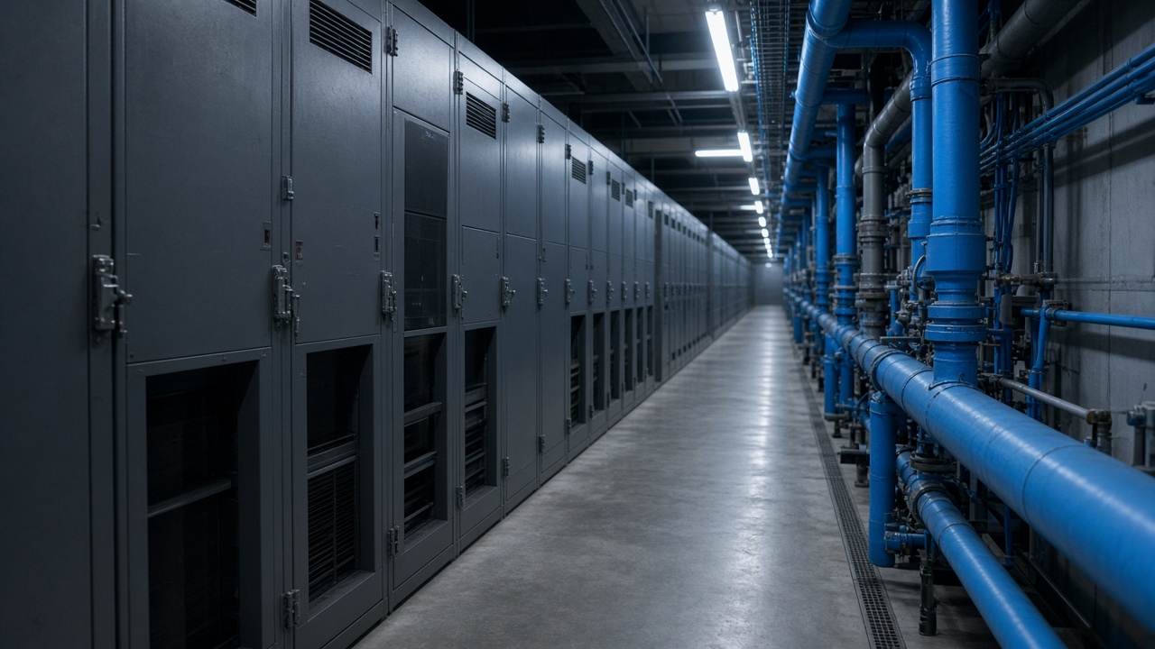
RIKEN’s interdisciplinary Theoretical and Mathematical Sciences program finished a Fugaku supercomputer run that simulates aftershock sequences along faults activated by the January 2024 Noto earthquake, delivering updated slope-stability contours to Ishikawa prefecture engineers before winter snow loads arrive. The work is not a public evacuation order—it is a computational benchmark local officials requested to prioritize retaining-wall inspections on coastal roads still carrying reconstruction traffic.
Model inputs
Researchers combined Japan Meteorological Agency aftershock catalogs, lidar differencing from pre- and post-disaster flights, and soil-class maps from the Geospatial Information Authority. Fugaku’s many-core layout allowed ensembles that vary friction coefficients across segments of the Noto Peninsula’s inland thrust system, producing probability bands rather than single-line forecasts.
iTHEMS teams emphasized uncertainty: aftershock decay rates in Japan’s Sea of Japan margin do not always follow mainland templates. The simulation’s value is ranking which slopes merit human inspection first, not predicting individual tremors for households.
Local use case
Ishikawa’s infrastructure bureau said it will cross-check the model output against field surveys from October road closures. Sports Day weekend travel will swell visitor counts to Wajima and Anamizu even as temporary housing villages remain occupied. Officials want construction detours flagged before freeze-thaw cycles widen cracks exposed by the main shock.
Utility operators joined the briefing: buried power lines along restored corridors still sit in liquefied layers in some wards. Aftershock shaking modest compared with the main event can nonetheless trip protective relays and extend outages.
Compute economics
Fugaku time is allocated through peer review; disaster-response projects receive expedited slots when prefectures co-sponsor. RIKEN said this run consumed roughly 2.3 million node-hours across two weeks—feasible only on Japan’s flagship machine, not on university clusters still rebuilding from Noto damage.
Open-data releases will follow publication review; until then, municipalities receive GIS layers under emergency data-sharing agreements. Scientists hope the workflow becomes a template for other coastal quake zones, including Hyuga-nada segments watched after recent slow-slip events.
Public communication
Prefecture officials plan town-hall slides that show ranked hazard zones without alarmist language. Citizens still living in prefab units want clarity on whether hillside roads they use daily merit overnight closures. The model does not replace geotechnical borings, but it narrows where borings must happen before snow.