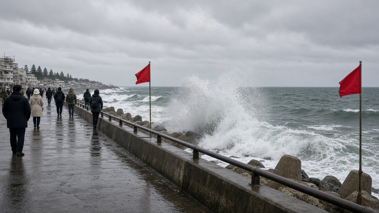
Japan’s weather agency warned that powerful swells from very strong Typhoon No. 29, named Koguma, will keep Pacific coastlines hazardous through Monday even as the storm’s center moves away from the Ogasawara chain. The Japan Meteorological Agency said waves of about two to three meters are expected along the Kanto coast and around the Izu Islands, driven by long-period swell rather than a direct landfall on Honshu.
Storm track
As of late Sunday evening, Koguma carried a central pressure near 950 hectopascals and maximum sustained winds of about 45 meters per second near its center, maintaining “very strong” typhoon status. The agency forecast the system to turn eastward Monday morning, weaken slightly to a strong typhoon, and accelerate northeast away from the remote islands it brushed over the weekend.
Because the typhoon’s wind field is relatively compact, mainland prefectures are unlikely to see the widespread transport shutdowns that accompany closer hits. Forecasters nonetheless cautioned that the pressure gradient between the distant storm and a high over Japan is funneling northeasterly winds and building seas hundreds of kilometers from the eye.
Coastal risk on the holiday
Monday marks the final day of the three-day Sports Day weekend, when families often travel to beaches, fishing ports and surf breaks from Chiba through Shizuoka. Municipalities along the Sagami and Suruga bays have posted high-wave advisories and asked small craft to avoid offshore trips. Lifeguard services on some public beaches said they would limit patrol hours if swell continued to build overnight.
Operators of ferries to the Izu Islands reported minor schedule adjustments Sunday but said main routes remained open pending Monday morning inspections. Fishing cooperatives in Kozu and Shimoda said they pulled nets early to avoid damage from surging harbor water. Surf schools in Chigasaki canceled beginner lessons for Monday morning, citing rip currents that can form even when skies are clear.
What to watch
The meteorological agency said rough seas could persist into Tuesday as swell energy decays more slowly than wind. Any change that steers Koguma westward would raise surf heights further and could force rail operators to recheck coastal embankments on the Tokaido corridor.
For now, the public message is narrowly focused: stay off rocks and breakwaters, expect rip currents on open beaches, and treat red flags seriously even under clear skies. The typhoon may be departing Japan’s immediate vicinity, but the ocean it stirred will take another day to settle.