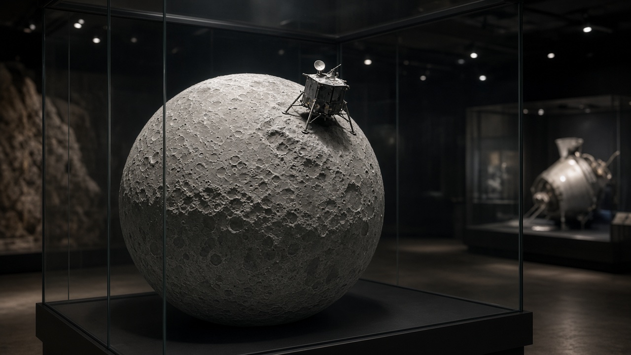
Researchers at the Institute of Space and Astronautical Science published a refined map Tuesday showing shadowed ice signatures near the mid-latitude band where JAXA’s SLIM spacecraft landed in 2024, using archived spectra from the SELENE Kaguya orbiter rather than new lunar samples. Sora Matsumoto’s science desk frames the paper as a bridge story: SLIM proved pinpoint touchdowns, while Kaguya’s old data hints where future missions might hunt frozen water without flying polar night.
Data lineage
Kaguya’s near-infrared spectrometer scanned the moon between 2007 and 2009, detecting absorption features consistent with water ice in permanently shadowed patches at latitudes once thought too warm to trap volatiles. The new reanalysis applies machine-learning denoising and updated solar-wind correction models unavailable during the original mission.
SLIM’s landing site near Shioli crater sits in that revised band, though SLIM itself searched for olivine-rich rock, not ice. The connection is geographic proximity for mission planners, not a claim that SLIM measured ice directly.
Why mid-latitude ice matters
Polar craters with eternal night are the classic ice targets, but they are cold, power-poor, and communication-challenging. Mid-latitude shadowed pockets— inside small craters or boulder fields— could offer shorter hops from sunlit solar arrays while still hosting trace ice for life-support experiments.
Estimated abundances in the paper remain fractions of a kilogram per square meter, enough for science instruments but not mining economics.
SLIM legacy
SLIM demonstrated landing accuracy within tens of meters despite having no design requirement to survive lunar night. Mission managers ended formal operations in 2025, but engineering telemetry informs landing software for upcoming commercial and government probes.
Pairing SLIM’s navigation with Kaguya’s spectral library lets planners ask: if we land here with solar power, how far is the nearest shadowed cold trap?
International context
NASA and Chinese missions also reported polar ice confirmations; Japan’s contribution is high-quality spectral archives and soft-landing finesse. Artemis Accords partners watch JAXA publications for site-selection criteria that might overlap with U.S. landing zones.
Planetary protection rules treat ice as both resource and science target, requiring sterile sampling tools.
Limits
Orbital spectra cannot replace in-situ drills; false positives from fresh impacts or spacecraft exhaust contamination still require rover verification. Funding for a follow-on ice rover remains competitive against Earth-observation satellites in JAXA’s budget requests.
Matsumoto notes public excitement about “water on the moon” often overshoots what grams-per-square-meter maps imply for astronauts.
Instrument calibration
Researchers cross-checked Kaguya pixels against Chandrayaan and LRO datasets where orbits overlapped, reducing single-instrument bias. Residual disagreements cluster on fresh impact ejecta that can mimic ice absorptions until age models exclude them.
Bottom line
Reprocessed Kaguya data highlight shadowed ice signatures near SLIM’s latitude, giving JAXA a scientific rationale to pair its landing precision with future volatile-scouting hops.