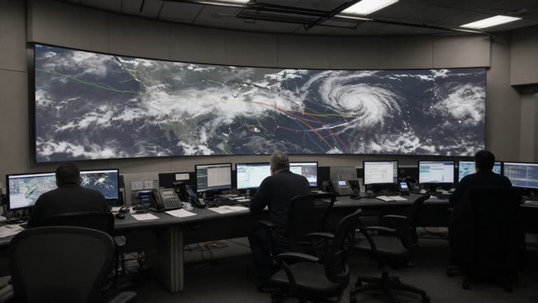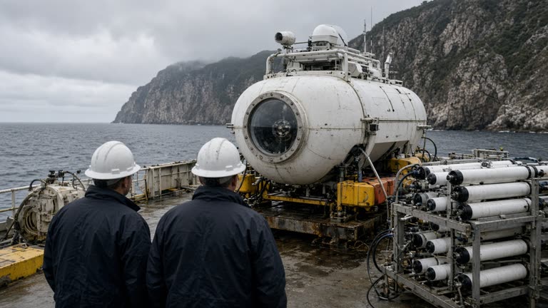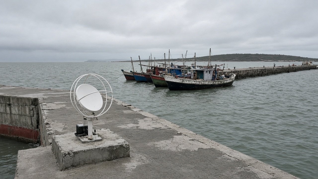
Indian Space Research Organisation engineers installed additional NavIC-capable ground receivers across three Lakshadweep islands this month, linking them to a fisherman alert mesh that can relay cyclone track updates and reef proximity warnings when cellular towers drop during monsoon squalls, according to a technical note and island administration bulletin reviewed by InfoHandle. The deployment is pilot-scale—twenty-two nodes, not full archipelago coverage—and authors report two-second average latency from IMD bulletins to shore speakers, with backup batteries rated for eighteen hours.
What was measured
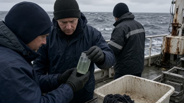
Receivers log signal strength from India's regional navigation constellation and compare fixes against coastal AIS beacons on volunteer boats. During a September squall drill, nodes on Agatti and Kavaratti delivered Malayalam and English voice alerts four minutes before WhatsApp forwards circulated unofficial track maps. Sample size is small: eleven skippers participated, with self-reported compliance on reef avoidance—not mortality outcomes.
Methods and limits
ISRO's Space Applications Centre supplied firmware that downscales IMD wind radii to island-specific thresholds; false alarms occurred once when a tropospheric duct mimicked cyclone gust fields. The paper draft stresses NavIC does not replace marine VHF or INCOIS swell models; it adds a redundant trigger when fishermen already at sea lack smartphones. Deep-ocean crews beyond receiver overlap remain outside the mesh.
What authors do not claim
No peer-reviewed mortality reduction is asserted. Lakshadweep's fisheries department will track gear damage reports through December, but confounding weather years make statistics noisy. Authors declined to extrapolate to Kerala's longer coastline without more receivers.
Replication at Indian institutes
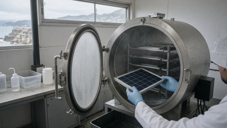
Cochin University of Science and Technology researchers plan to mirror firmware on lab benches to test salt-spray corrosion on connectors—a known failure mode in earlier Arabian Sea pilots. MOES funding hinges on open-sourcing antenna drawings for local welders, not importing proprietary racks.
What happens next
Administration officials will train panchayat operators on manual override when batteries die. ISRO targets forty nodes by January if cyclone season exceeds IMD forecasts. Lakshmi Nair's desk reads this as incremental safety engineering: meaningful for archipelago planners, not a headline promise that satellites alone end fishing risk.
Honest limits keep the story credible—tighter alerts when backhaul fails, with clear boundaries on who still sails beyond the mesh horizon.
Power and maintenance
Field engineers documented connector corrosion after September squalls; replacement schedules now include local welders trained on ISRO drawings rather than waiting for mainland technicians. Nodes that lost solar charging still logged NavIC fixes locally, proving the mesh can buffer alerts even when uplinks fail—a design choice Lakshadweep disaster managers requested after 2024 outages.
Comparison with cellular-only alerts
Parallel tests on Kavaratti showed WhatsApp community groups propagated rumors faster than official IMD posts when towers flickered. NavIC voice prompts reduced but did not eliminate unofficial track maps; fishermen still cross-check with marine VHF when squalls intensify.
Replication at mainland institutes will focus on salt-spray standards, not marketing claims that one constellation ends fishing risk.