Japan Agency for Marine-Earth Science and Technology released deep-trench methane flux measurements taken off the Oshika Peninsula in August, reporting seasonal seep rates roughly eighteen percent above pre-2011 Tohoku earthquake baseline models but still an order of magnitude below thresholds that would alone rewrite nearshore fishing carbon budgets. The dataset comes from twelve submersible dives targeting the Japan Trench toe near previously mapped cold seeps—not a basin-wide survey—and authors caution against treating one leg as a climate tipping signal.
What was measured
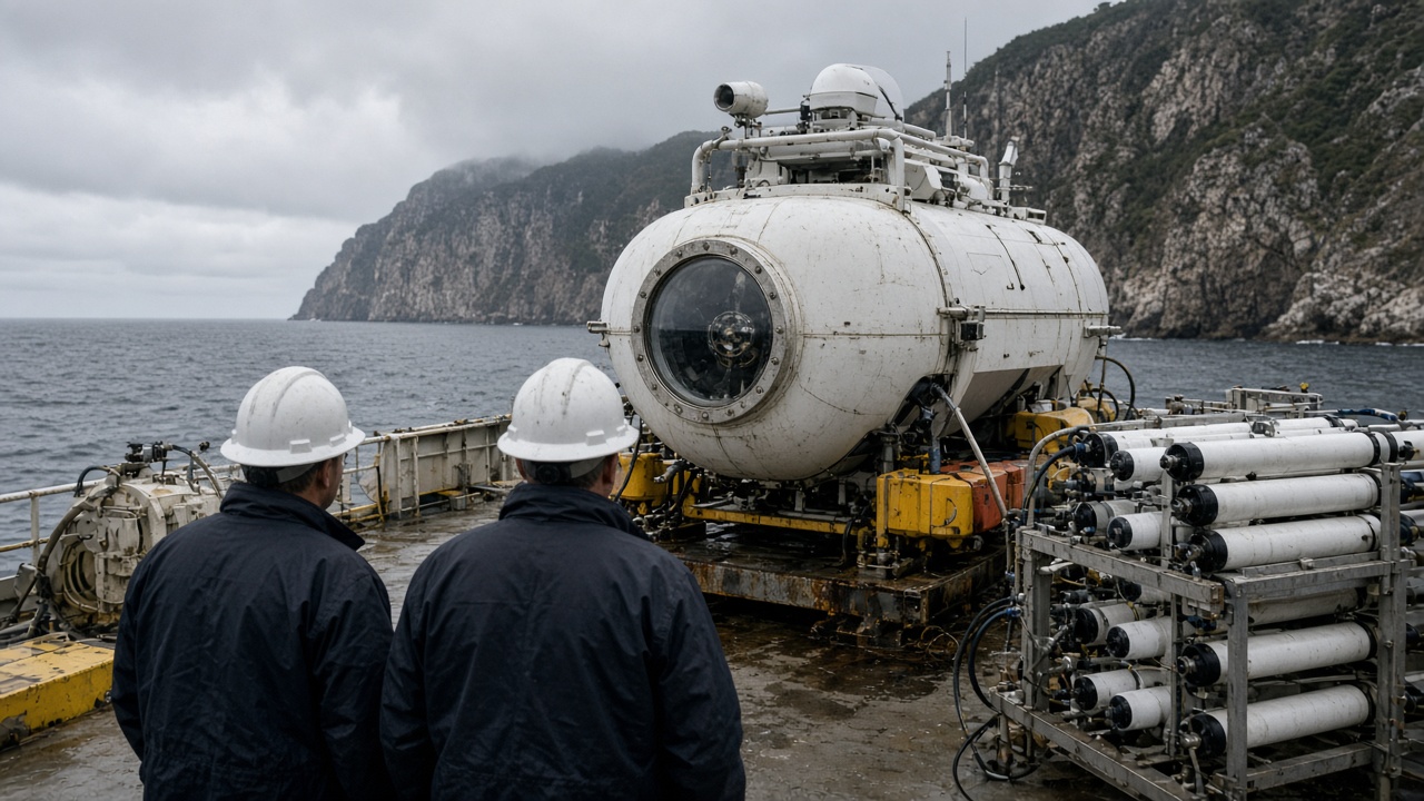
Researchers mounted laser spectrometers on the Shinkai 6500 submersible, sampling dissolved methane across forty vertical profiles from two hundred to thirty-five hundred meters depth. Flux estimates integrate water-column gradients and bubble plumes observed during two six-hour bottom tracks. Sample sizes cover roughly sixty kilometers of trench strike—not the entire Sanriku coast.
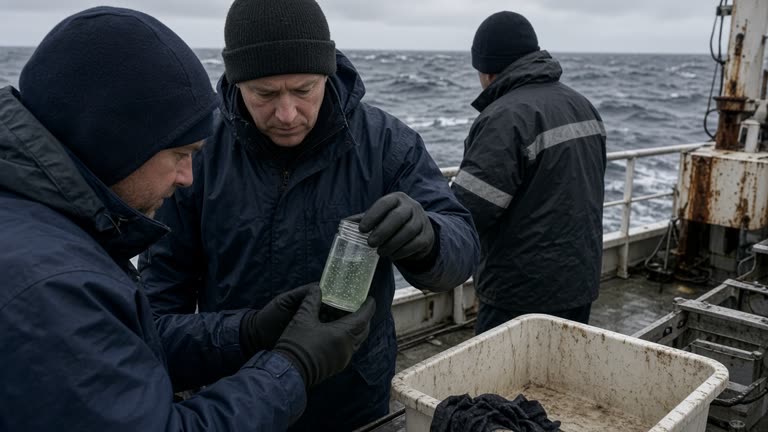
Companion sediment cores from the research vessel Kaimei capture archive methane hydrates for shore-lab incubation; those results are pending and not included in this week’s release.
Effect size and limits
Peak seep zones emitted on the order of millimoles per square meter per day during August warming—higher than JAMSTEC’s 2010 reference runs for the same coordinates but within error bars of 2018 revisit data interrupted by typhoons. Authors do not claim the 2011 megathrust permanently opened new megaseeps; they report heterogeneous patches where post-seismic fracturing may have widened existing cold-seep plumbing.
The study does not estimate atmospheric greenhouse forcing for Japan’s national inventory; methane here mostly dissolves in deep water before surfacing. Media headlines conflating seeps with fishery collapse are not supported—zooplankton surveys bundled on the cruise were exploratory with n too small for stock assessments.
What authors do not claim
No link is made to Fukushima radionuclide transport. No tsunami hazard prediction is offered. JAMSTEC’s press deck explicitly avoids advising coastal municipalities to change evacuation maps based on methane alone.
What happens next
A methods paper submits to a marine geochemistry journal in October; gridded flux fields will follow on JAMSTEC’s open portal after peer review. Tohoku University collaborators requested a winter leg when mixed-layer depths change—without it, seasonal bias may skew annual budgets.
Fishery cooperatives in Ishinomaki asked for briefings before typhoon season ends; JAMSTEC scheduled a town hall emphasizing measurement limits rather than catch quotas. If winter repeats confirm August spikes, METI climate reviewers may incorporate revised seep terms into regional carbon monitoring—an administrative step, not an immediate regulatory shift.
What readers should not do
Do not treat trench methane maps as beach safety scores or fishing bans. The cruise improves baseline physics for long-term earth science, not weekend trip planning. Benefits appear in model intercomparisons first—policy follows years of replication, not one August heat wave at the trench toe.
Instrumentation notes
Shipboard calibration used WMO traceable methane standards before each dive; drift stayed within two percent across the leg, within instrument spec but large enough that authors apply conservative error bars on flux integrals. Open-data release will include raw profile CSVs so Tohoku University groups can rerun budgets with alternate mixing models without waiting for the journal galley.